
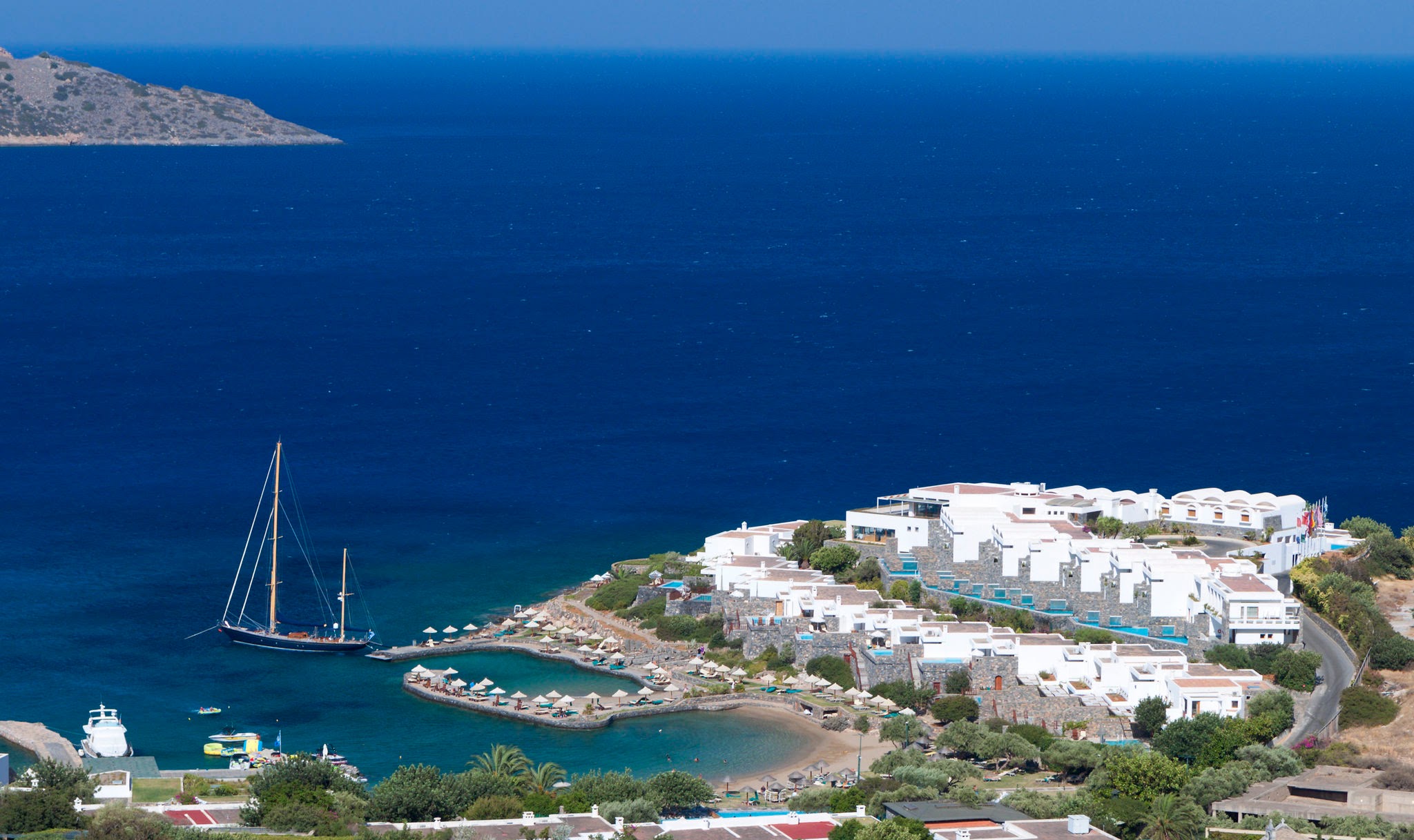
Elounda’s modern visitor economy did not appear by chance. It grew from a particular geography: sheltered water, views across Mirabello Bay, proximity to Spinalonga, and villages set close enough to the coast to remain connected with it.
That setting made Elounda legible to visitors before large hotels changed its public image. The bay gives the area a natural orientation. Roads, harbors, boat routes, and viewpoints all follow the shape of the water.
A Coast That Shaped Movement
The coast around Elounda has always guided movement. The harbor sits near the village center, the route north leads toward Plaka and Spinalonga, and the road south connects with Agios Nikolaos and the wider Lasithi region.
For visitors, this means Elounda is easy to understand on the ground. The main experiences are not scattered randomly: harbor walks, boat crossings, coastal roads, beaches, and village viewpoints all relate to the same bay.
From Working Shoreline to Visitor Economy
Before Elounda became known for hotels, the area had the logic of a working shoreline. Fishing, salt-related activity, local transport, and village life shaped how people used the coast. The older shoreline history is covered in A Short Chronological History of Elounda. Modern tourism added another layer rather than removing the older geography.
This is why the contrast is still visible. A visitor can move from a hotel frontage or harbor cafe to older lanes, windmill traces, small chapels, and the road toward traditional villages within a short distance.
Hotels and Public Image
Large hotel development changed how Elounda was described outside Crete. The area became associated with hotels, sea views, and quiet coastal stays. For the main stages of that growth, see Key Phases in Elounda’s Hotel Development. Those descriptions are part of the modern story, but they are not the whole story.
For this website, the more useful point is practical: Elounda’s public image grew around the same physical qualities that shaped earlier life here. The protected bay, the presence of Spinalonga, and the slope of the villages remain central.
What This Means for Visitors Today
Visitors choosing between the coast and the villages should understand the difference in rhythm. The waterfront has services, restaurants, boat departures, and easier evening movement. The hillside villages offer quieter lanes, wider views, and a stronger sense of older settlement.
The Mavrikiano Distances and Area Guide gives practical route orientation, while the houses in Mavrikiano and Vrouchas show how the village side of Elounda still works as a place to stay.
Elounda’s visitor economy is a change in use, not a complete break with the past. The same coastline that supported work and movement now supports travel, but the shape of the place has stayed visible.